Geospatial Solutions
Home | Technical Services | Geospatial Solutions
Geospatial Solutions
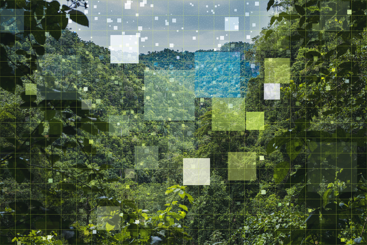
Sewall Forestry & Natural Resource Consulting (SFNR) uses a cloud-based GIS, which allows us to create a data mine of digital images, including satellite and light detection and ranging (LIDAR) point clouds, that we can access as we work in the field.
Through this application, we can provide forest stand and strata delineations, spatial and tabular analysis, and custom application development as needed. Our geospatial solutions ensure our ability to provide the precise analysis needed to make informed
decisions.
- Cloud based GIS
- Automated editing processes
- Data mining of digital image products including satellite imagery and LIDAR point clouds
- Forest stand and strata delineations
- Field use of GIS
- Spatial and tabular analysis
- Custom application development